Deep Learning Pipelines for Large Scale Satellite Imagery
Processing global satellite datasets requires sophisticated deep learning pipelines that balance computational efficiency with analytical accuracy. Modern architectures combine specialized training strategies, data augmentation techniques, and distributed computing systems to handle petabyte-scale image archives. These pipelines enable automated feature extraction, classification, and change detection across continental and global extents, supporting applications from environmental monitoring to infrastructure mapping that demand consistent, high-quality analysis of massive satellite image collections.
Training Architecture Strategies
Effective deep learning for satellite imagery requires architectural designs optimized for the unique characteristics of Earth observation data, including high dimensionality, spatial correlation, and multiscale features that differ significantly from natural image datasets used in general computer vision research.
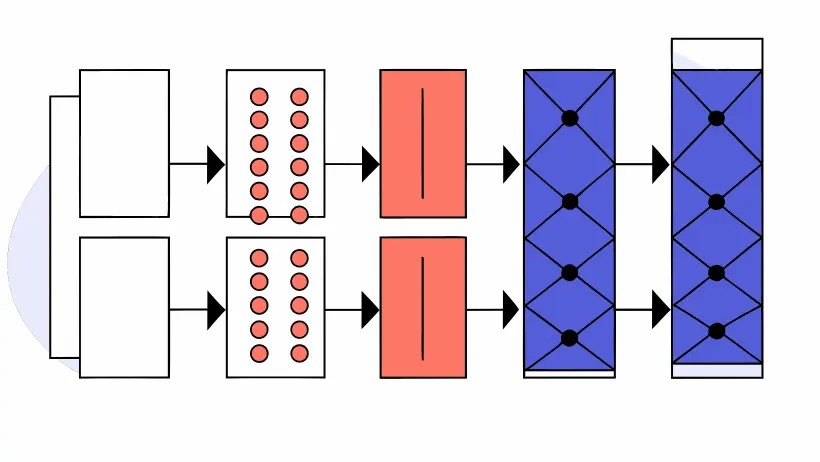
- Multi-scale convolutional networks capture features at different spatial resolutions from fine-grained textures to large landscape patterns
- Self-attention mechanisms enable the model to focus on relevant spatial regions while ignoring cloud cover and other artifacts
- Pretraining on massive unlabeled satellite archives through self-supervised learning reduces dependence on expensive manual annotations
- Transfer learning leverages knowledge from related tasks to accelerate training convergence and improve performance with limited labels
Distributed Computing Configuration
Large-scale satellite imagery processing demands carefully designed distributed computing systems that balance processing speed, cost, and analytical quality:
| System Aspect | Configuration | Key Benefit |
|---|---|---|
| Data Distribution | Spatial partitioning | Parallel processing |
| Model Training | Data parallelism | Reduced training time |
| Inference | Model parallelism | Memory efficiency |
| Storage | Cloud-native formats | Fast data access |
"The scalability of deep learning pipelines determines whether satellite data remains an underutilized resource or becomes actionable intelligence accessible to global research and operational communities."
Data Augmentation Techniques
Specialized augmentation strategies address the unique challenges of satellite imagery, including varying illumination conditions, seasonal changes, and sensor differences across platforms. Techniques include geometric transformations that preserve spatial relationships, spectral augmentation that simulates different atmospheric conditions, and temporal interpolation that generates synthetic time series for improved change detection model training. These augmentations significantly improve model robustness and generalization performance across diverse geographic regions and acquisition conditions.